Monsoon Withdrawal 2026: What India's Rain Deficit Means
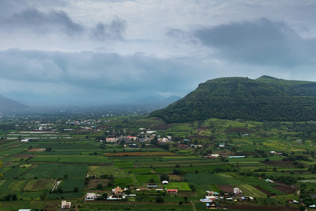
The India Meteorological Department said on September 14 that conditions have turned favourable for the southwest monsoon to begin withdrawing from parts of West Rajasthan around September 19, the first formal step in a retreat that will take roughly a month to clear the rest of the country. It is arriving about two days behind the normal date of September 17, in a season that has run short of rain since June. That matters more than the date alone suggests. How a monsoon leaves shapes reservoir levels going into winter, how much of the kharif crop actually gets harvested, and what happens to vegetable and pulse prices over the next few months.
How IMD decides a monsoon is actually leaving
Withdrawal is not declared on a single day for the whole country. IMD looks for five straight days without rain over a region, the formation of an anticyclone in the lower atmosphere, and a marked drop in moisture on satellite imagery before it calls the first withdrawal, and it will not extend that withdrawal further until the same dry conditions hold up for another five days in the next region. That is why the retreat always starts in the west, generally Rajasthan, and works east and south over several weeks. Complete withdrawal from the southern peninsula, and from the country as a whole, does not happen until after October 1 in a normal year, and this year’s slow start suggests the full exit could run into the second half of October.
A season that never caught up
The delay is a footnote next to the bigger story: this monsoon spent most of June through August behind its long-period average. India received 577.8 mm of rain against a normal of 664.7 mm between June 1 and August 26, a shortfall of roughly 14 percent, with 14 states recording deficits at the time. By mid-September the national deficit was still being put at around 15 percent. The southern peninsula fared worst of all, with different weekly tallies putting its shortfall anywhere between 27 and 32 percent depending on when the count was taken, a spread that itself says something about how patchy this monsoon has been region to region rather than uniformly weak.
Most meteorologists tracking the season point to the same underlying driver: El Niño conditions built up in the central Pacific through the middle of the year and, per IMD and other international forecasting centres, carry a high probability of persisting into early 2027. El Niño years are not automatically dry ones for India, but they tilt the odds toward a weaker, more uneven monsoon, and this year has followed that pattern closely enough that forecasters were flagging the risk as early as July.
What a short monsoon leaves behind
The clearest read on what a deficit season costs is in the reservoirs and the fields. All-India reservoir storage stood at 70.3 percent of capacity as of September 3, actually an improvement on the 67.8 percent recorded the week before, but that national average hides a sharp regional split: central India’s storage was running about 5 percent below normal, while the southern peninsula’s reservoirs were down closer to 27 percent, a gap that will not close now that the rains are leaving. Kharif sowing has followed the same pattern, down about 1.4 percent on last year nationally, with paddy acreage off by nearly 4 percent to 42.68 million hectares and 343 of India’s roughly 740 districts reporting deficient to scanty rainfall over the season.
None of that guarantees a bad harvest or a spike in food prices on its own. Late-season rain, irrigation, and the specific mix of crops grown in the worst-hit districts all matter more than a single headline number. But a sowing shortfall concentrated in paddy, layered on reservoirs that are already short in exactly the states that needed the monsoon most, is the kind of setup that shows up in mandi prices for rice and vegetables a few months later if it is not offset by a strong post-monsoon spell. It is worth watching rather than assuming either way.
What follows the retreat
Once the monsoon clears a region, the attention usually shifts north. Winds over Punjab and Haryana change direction as the rains withdraw, and that is also when farmers there begin burning paddy stubble to clear fields for the next crop, typically from late October through November. That combination, retreating monsoon plus stubble burning plus cooling, stiller air, is the annual setup behind Delhi-NCR’s worst air quality stretch of the year. We have covered how AQI is actually measured in detail if you want the mechanics behind the numbers you will start seeing more of soon. For now, IndiaRealTime’s live weather pages track the withdrawal city by city, and the mandi price tracker is the place to watch if this deficit season does start showing up at the vegetable stall.
Sources
- India Meteorological Department: Monsoon withdrawal information
- Business Standard: India’s monsoon rainfall 13% below normal, 14 states record deficits
- ANI: National reservoir levels reach 70.3% capacity amid widening regional monsoon gaps
- Mongabay India: Kharif sowing deficit narrows, but El Niño remains a risk
- NewsBytes: Monsoon withdrawal from north-west India imminent

Want more like this?
Explore Mandi & Agriculture →